

Social media is abuzz with commentary about the weather, particularly how hot it has been the last couple of days.
Sunday, June 20th marked the official first day of summer, and the summer solstice, aka the longest day of the year. The following day, Monday, June 22nd saw record breaking temperatures all across the Lower Mainland: 31 degrees in Abbotsford and Pitt Meadows, 30 degrees in West Van and 27 degrees in White Rock.
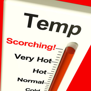
These temperatures are certainly indicative of a heat wave, meaning that people aren’t overreacting and indeed it is “HOT AF”. Even Environment Canada was compelled to issue a warning for Sunday and Monday, which has now been lifted.
Meteorologist Michael Kuss says we shouldn’t expect this early taste of summer wave to last too long.
“The pattern that is setting up for the weekend is something we normally don’t see until late July, early August, where a massive area of high pressure floods across the province, pushing the jetstream up to Yukon, Northwest Territories and draws in some of that warm air all the way from Arizona, Texas, New Mexico. That’s what we’re looking at for the weekend and early next week,” Micheal told CityNews.
BC Hydro said its system is more than able to keep up with higher demand that comes with air conditioning being utilized more than usual & earlier than usual.